
Big Spring Street Directory Steps
Begin an address search with the Howard County Appraisal District public property search. Enter the street number and street name separately when possible, then save the owner display, property ID, geographic ID, legal description, property type, and displayed tax year. This identifies the tax-account owner, not necessarily a person who currently lives there. A parcel is the mapped tax unit used to organize land records. Its situs address is the physical location carried by the property system, which can differ from the owner’s mailing address.
- Search the Big Spring address in Howard CAD and capture the owner display and parcel identifiers before changing the query.
- Use the owner name and legal description in the Howard County Clerk index to locate the deed chain and any earlier recorded parties.
- Check VoteTexas registration status or the Howard County election office only for the lawful voter information that its rules permit.
- For past household evidence, consult an address section or a criss-cross directory where an edition provides one, then compare its date with other records.
That address-to-owner-to-deed-to-voter-to-directory sequence avoids turning one record into a household roster. A voter-status tool is not a street-wide resident list, and an old directory entry is not proof that someone remains at the address. The trail gains value when its dates agree, not when several unrelated sources are merged.
Search Big Spring CAD Addresses
Howard CAD is the strongest public starting point for a Big Spring street directory search because it exposes owner and address-oriented controls. The public service has By Owner, ARB Search, and Advanced modes. Its guidance says that fewer terms can return more matches, and that an address search can be rescued by using the street name. For names, the customer manual says records are stored LASTNAME FIRSTNAME, without a comma, and partial matches can work. Try a spelling variant before assuming an address is absent.
The tax-year selector visibly offers 2017 through 2026, and the public page labels the current values as 2026 certified values. Save the selected year with a result because a different year can affect the visible property details. Property type also matters. Real, personal, mineral, auto, and mobile-home results do not all describe a residence. A CAD card can show a mailing address, situs address, legal description, values, exemptions, acreage, and improvement details, but it is an appraisal record rather than a title opinion.
| Howard CAD field | Format | Required | Search note |
|---|---|---|---|
| Owner Name | Text | No | Use last name first, such as Smith John; partial matches may help. |
| Street Number | Text | No | Pair it with Street Name for a situs-address search. |
| Street Name | Text | No | Enter without a prefix, suffix, or unit number. |
| Property or Geographic ID | Text | No | Use the saved identifier to return to the same parcel. |
| Property Type | Select | No | Real, Personal, Mineral, Auto, or Mobile Home. |
| Legal Description | Text | No | Useful when an older deed lacks the modern street format. |
Note: A CAD owner display and a mailing address are useful leads, but neither alone establishes a person’s present physical presence.
Big Spring Parcel Map Checks
Use the Howard CAD-linked parcel map after an address search to keep the property ID, geographic ID, and legal description tied to the same mapped unit. The interactive map was not text-readable during research, so its address-search controls, parcel popups, layers, printing, measurement, and export options were not confirmed. Treat a visible parcel line as orientation until its identifiers agree with CAD and a recorded instrument.
City GIS has a different role. Its map page offers city-limits and municipal-context information, but it expressly disclaims survey accuracy, completeness, warranty, and stability, and says some areas may be unmapped. It can help test whether a street falls within municipal context. It cannot replace a survey, plat, recorded annexation instrument, or CAD property record. Keep a map observation separate from the legal evidence that supports it.
Deeds Along Big Spring Streets
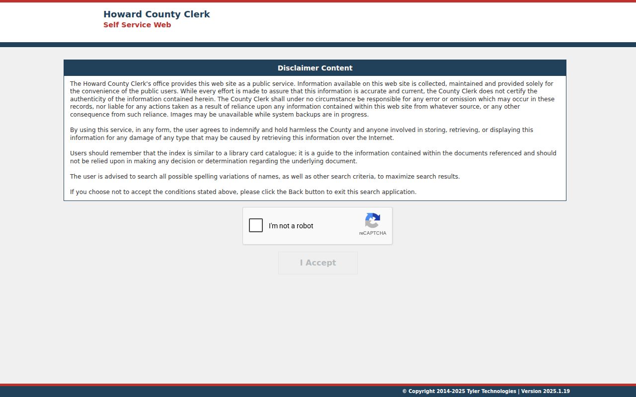
Move from CAD to the Howard County Clerk’s Tyler records portal when the goal is a recorded deed, lien, release, plat, or easement. The clerk is the recording custodian and specifically directs real-property searches to the county records portal. Its disclaimer compares the index to a library catalog, which is an important limit: an index points to a record but is not the instrument itself. Search both grantor and grantee spellings, as well as a trust or entity name when the CAD owner display suggests one.
The portal showed an acceptance screen and human-verification gate during the research, so its live fields, online date cutoff, image access, export options, and fees were not confirmed. Do not fill that gap with an assumed coverage year. If a document matters, request an image or certified copy from the clerk and supply the grantor or grantee, approximate date, instrument type, legal description or property ID, and any known volume, page, or clerk-file number. The clerk’s listed counter is 300 S Main Street, Room 104, Big Spring, and its telephone is 432-264-2213.
The clerk portal disclaimer is shown below. It is a useful reminder to preserve an index result as a lead and then obtain the record itself if a transfer, restriction, or lien must be understood.
A deed can use a lot, block, addition, abstract, or survey description while CAD uses a geographic ID or current situs address. Match those identifiers before deciding two records concern the same property. A deed of trust records security for a debt, not a completed change in ownership. Likewise, a foreclosure notice describes a sale process and should be followed to a later recorded instrument before it is treated as a completed transfer.
Note: Confirm an instrument with a clerk image before relying on it for title, lien, or transfer history.
Big Spring Permit Address Records
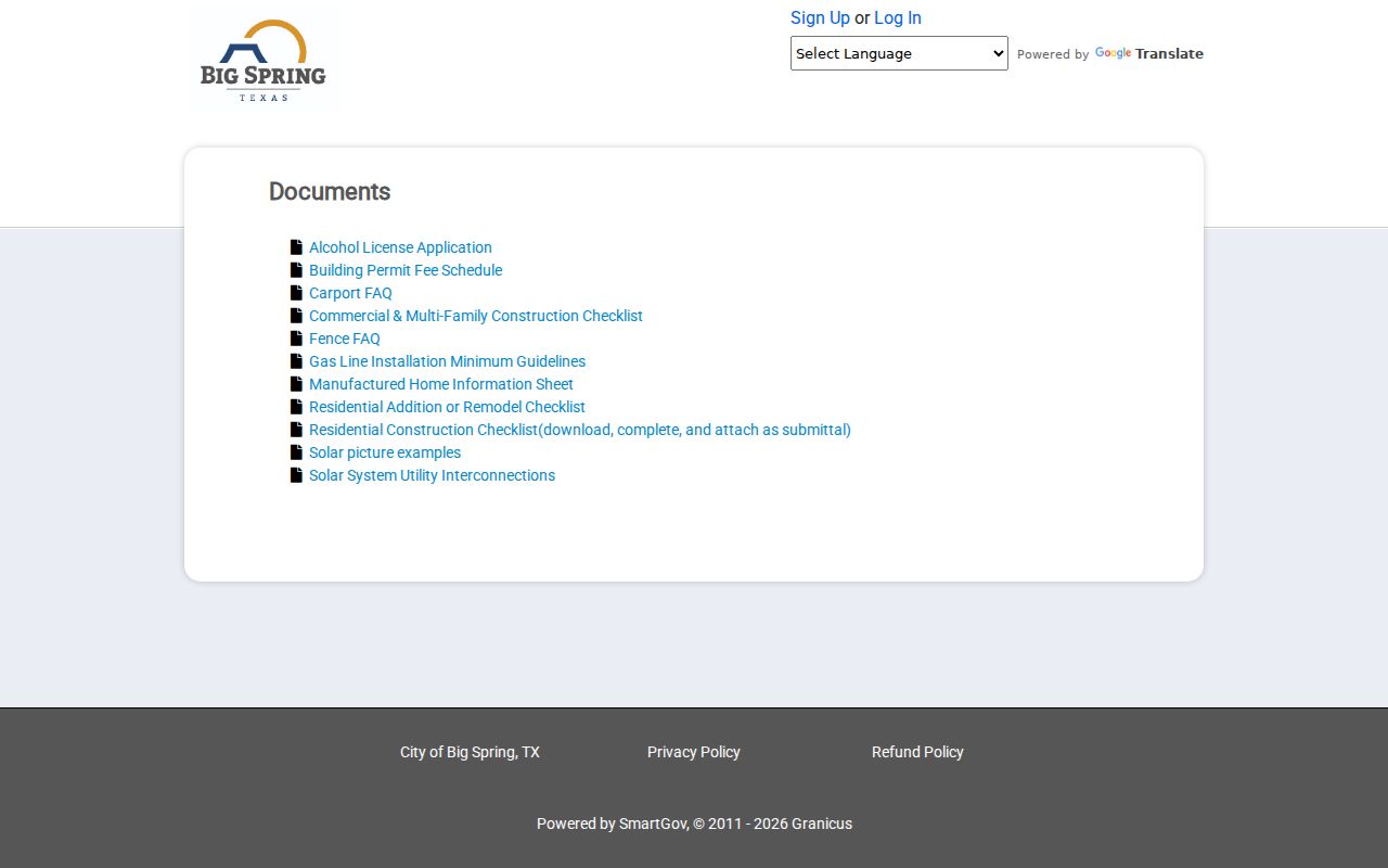
Municipal permits can add a construction or improvement date to a Big Spring address trail. The city’s SmartGov public landing page links applications and inspection results, a business portal, documents, and contact routes. Its public Documents area includes checklists and guidance for additions, remodeling, carports, fences, gas lines, manufactured homes, solar work, and other projects. The public Reports page said no reports were available when reviewed. That does not show that an address has no permits.
Use the portal account route if it makes an address record available. Otherwise, request a narrow set of permit or inspection records through the city’s Public Information Act route, the listed records email, or City Hall. Give the exact address, approximate date range, project type, and the document class sought. Keep an applicant, contractor, owner, inspector, and completion date in separate columns. Those roles may overlap, but the record must establish any connection.
The SmartGov document collection demonstrates the types of building guidance available through the city service.
Permit records are best used as dated address clues. A project can help explain a structure change or direct a focused request, but it does not replace the CAD property record or a recorded deed.
Big Spring Street Record Coverage
A Big Spring street directory draws from records keyed in different ways. CAD is address and parcel centered. The clerk system is party and instrument centered. City records need an address and a defined record class. The election route handles registration status under privacy limits rather than providing a public household roll. Label every result with its custodian and function so an owner, recorded party, permit applicant, or historical occupant is never presented as the same kind of fact.
| Address-linked record | Local keeper | What it can show | Access route |
|---|---|---|---|
| CAD property roll | Howard CAD | Owner display, mailing and situs addresses, parcel IDs, legal description, values, exemptions | Public tax-year search, visibly 2017-2026 |
| Parcel mapping | Howard CAD-linked GIS and City GIS | Parcel orientation and approximate city-limit context | Interactive map; City GIS is not a survey |
| Recorded instruments | Howard County Clerk | Recorded parties, legal description, dates, file or book references | Tyler index, clerk counter, mail, phone, or fax |
| Permits and inspections | City of Big Spring | Project, application, inspection, and completion clues | SmartGov or a focused Texas Public Information Act request |
| Voter information | VoteTexas and Howard County election office | Lawfully available registration or status information | State tool or county office; protected fields stay withheld |
| Historic address listings | Howard County Library and repositories | Dated household or subscriber evidence when an address section exists | Catalog, microfilm, digitized newspapers, or reference help |
The CAD-linked parcel map at Howard CAD GIS can help orient a parcel, but its interactive controls were not available for field inspection. The city’s map page also warns that features are approximate, can change, and may omit areas. For an unfamiliar rural, new, or renumbered address, Howard County 911 Addressing is the local escalation route, listed at 432-264-2266.
Note: Record the property ID and tax year before comparing an address result with a map, deed, or permit response.
Big Spring Voter Record Boundaries
VoteTexas and the Howard County election office are useful for registration status and election administration, not for assembling a street-by-street resident list. Names and some voter fields can be public, while protected addresses, identifying numbers, and confidentiality-program records are restricted. A registration result also does not prove that a person is physically present at an address on the day of a search.
Use the state or county election route only after the address and record purpose are clear. Preserve any withheld or suppressed value as a legal boundary. When an address is protected through the Texas Address Confidentiality Program or another voter confidentiality rule, do not combine other sources to guess the omitted location.
Big Spring Directory Address History
For a former household, the street directory method changes from current parcels to dated publications. A criss-cross directory is an address-first arrangement that can identify the listed occupant or subscriber, then send the researcher back to the alphabetical name section. A dedicated Big Spring reverse-directory run was not located in the official catalog, so use address sections only when the particular volume has them. Historical telephone books can be a cross-check, but they are not the same as annual city directories.
FamilySearch catalogs Big Spring directory reels for 1928, 1930, 1931, 1934-35, 1962, 1978, 1985, 1990, 1991, and 1994. Some items may be available online, while others are held by libraries or societies. Howard County Library also provides local newspaper microfilm and links the Texas Tech Southwest Collection’s digitized newspaper resources. The historical volumes and their access routes are detailed on the Big Spring city directory page; for a single street, preserve the edition, page, address spelling, and whether the evidence comes from an alphabetical or address section.
- Parcel
- A tax and mapping unit with identifiers that help connect a situs address to CAD records.
- Situs address
- The property’s physical location in a record system, distinct from an owner’s mailing address or PO Box.
- Plat
- A recorded map that can describe lots, blocks, additions, streets, or subdivision relationships.
- Criss-cross directory
- An address-first directory arrangement used to locate a listed person or subscriber by street address.
Big Spring Address Change Checks
Big Spring has no documented citywide street-renumbering or renaming project in the research record. That absence is not a reason to assume today’s address format always worked in the past. The confirmed geographic warning is that parts of Howard County precinct 1 were annexed to Big Spring in 1927, 1929, and 1930. An older source may therefore describe the same tract as county land even when it sits within the modern city.
Use a time-slice check when an address looks inconsistent. Compare the published address, the CAD legal description, a deed or plat, the relevant directory edition, and a historical map. The Texas State Library and Archives Commission catalog lists Howard County map records from 1925, 1940, 1951, 1961, 1972, 1983, 1989, and 1991, among other items. Map metadata confirms a holding, not an exact modern parcel match, so inspect the map image and scale before drawing a boundary conclusion.
Note: Preserve historical address wording even when it does not match the current Big Spring mailing or situs format.
Big Spring Street Search Limits
A street directory can identify public record leads, but it cannot reliably name every person at an address. CAD does not prove occupancy. A recorded deed does not prove a current household. A directory may have skipped a year or used a different street form. Texas voter privacy rules protect certain addresses, telephone and identifying fields, and confidentiality-program information. The Texas Address Confidentiality Program can use a substitute mailing address, and it must never be reverse engineered into a physical location.
Lawful use. Use Big Spring street records for personal, family-history, property, or civic research. Do not use a record trail to stalk, harass, threaten, or harm anyone.
The Texas Public Information Act can provide a route to request releasable city or county records, but it does not override privacy statutes or turn every field into public information. Preserve redactions and suppression indicators. When a result is index-only, say so plainly and verify it with the office that holds the underlying record.